OUR WORK

Selected Projects

A sample of the geodemographic research, mapping, and redistricting work delivered across the country.

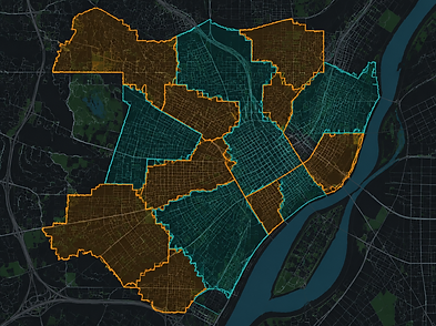
MBKA Community Analysis Study
DEMOGRAPHIC STUDY

MBKA Community Analysis Study

My Brother's Keeper Alliance2022

A community-level demographic analysis mapping population density, equity indicators, and service access for the My Brother's Keeper Alliance initiative.

This project involved deep analysis of census tract-level data to surface disparities in education access, economic mobility, and health outcomes across targeted communities. Interactive maps and dashboards were produced to support program planning and grant reporting.

Census DataEquity AnalysisMappingDashboard
Census Data Hub
ESRI HUB

Census Data Hub

Public Sector Partner2021

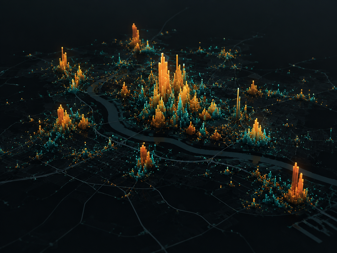
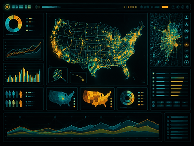
A Race & Equity Census 2020 data hub built on ESRI Hub — surfacing demographic disparities through interactive maps and dashboards.

Built on the ESRI Hub platform, this data hub aggregates 2020 decennial census and ACS data into a publicly accessible portal. Users can explore race, ethnicity, income, and housing data at the block group level, with curated map layers and downloadable datasets.

ESRI HubCensus 2020Race & EquityOpen Data
Districting Master
REDISTRICTING

Districting Master

City of Everett, WA2019

A citywide districting master plan for Everett, WA — balancing population, communities of interest, and compact boundaries.

Tony Fairfax guided the City Commission's development of the city's first redistricting scheme. Several plans were developed and evaluated for the City of Everett prior to the 2020 census. The process included public engagement sessions, population deviation analysis, and Voting Rights Act compliance review — culminating in a final adopted plan.

RedistrictingGISVoting Rights ActPublic Engagement